Overview
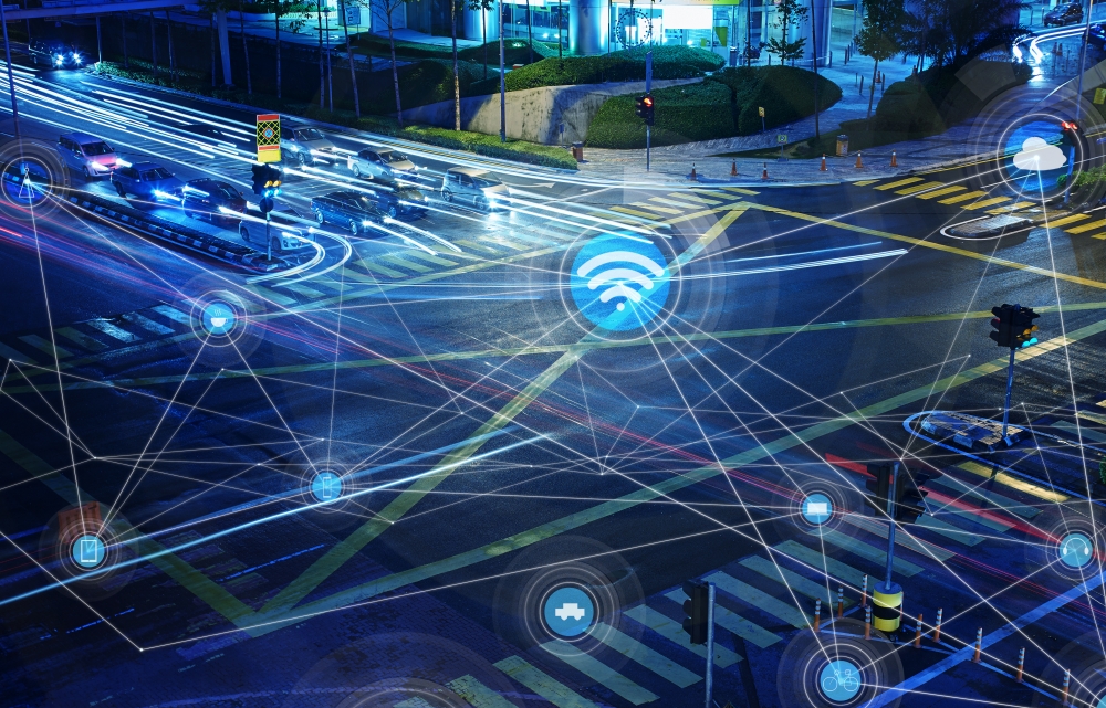
Contemporary urban policy makers face a critical challenge over the next decade or so: transport infrastructures need to be able to cope with growing (and increasingly mobile) populations, yet central and local governments are operating in an era of austerity where major new investment in infrastructure is unlikely. Data science and data-centric engineering offer a potential solution to this problem. By offering ways of optimising the existing use of infrastructure by exploiting more data about the way the infrastructure is used, there is the possibility of improving the performance of existing traffic networks without making major new investments.
The availability of new data is transforming the way we study human behaviour as well as plan and operate infrastructure. Along with data from sensors, crowd-sourced data, social data, and administrative data have also all greatly increased. Millions of volunteers contribute geographic data to platforms like OpenStreetMap capturing details including points of interest, bus stops, restaurants, and walking trails. At the same time, huge swaths of social data (e.g., online reviews, posts on social networking sites, etc.) augment our physical space with additional data that can reveal commuting patterns and other human activity. Finally, administrative and government processes are digital, available in realtime and more easily linked and searched than ever before.
This project seeks to understand how these additional data sources complement sensor data to give us a deeper understanding of human behaviour and improve modelling and prediction tasks. We also seek to innovate in ways to visualise and analyse this data quickly, extending our work on generating tile maps algorithmically.